Geneva, Switzerland/geneva942
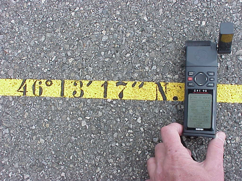
Previous | Home | NextBut the latitude line does not agree with a modern GPS -- compare N 46° 13' 17" painted on the pavement with the GPS reading of 46° 13. 24'. This difference corresponds to 80 meters. The answer is the present GPS datum-system (WGS84) is being used, while the latitude line drawn on the pavement was using the Potsdam-datum reference. Different reference systems are possible, because the earth is not a perfect sphere (and not even a perfect ellipsoid) and the projection system used is always arbitrary.
